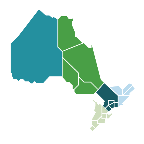
Planning in Northwest Ontario

The second regional electricity planning cycle for this region was completed with the release of the Integrated Regional Resource Plan (IRRP) and the supporting Appendices on January 13, 2023. The electricity plan identified that, with transmission reinforcements already underway in this region, the infrastructure in the Northwest will be generally adequate to support forecasted growth except for some station capacity and local operational needs. These needs are addressed by the IRRP recommendations summarized in Section 2.1 of the report including:

  • Consideration of non-wires alternatives in Kenora as a cost-effective solution to support future capacity needs
  • Addressing local capacity and reliability needs identified for Fort Frances MTS, Crilly DS and Margach DS
  • Updated operational measures and equipment at Pickle Lake Substation to manage high voltages

The plan’s intent was to identify future electricity needs and options to ensure an adequate and reliable supply continues to be provided for customers in Northwest Ontario. This second cycle of planning commenced with the development of a Needs Assessment, a process led by Hydro One.

The Scoping Assessment Outcome Report outlines the needs and specific areas of the region that required more comprehensive regional planning through an Integrated Regional Resource Plan (IRRP). A Terms of Reference also set out parameters for the IRRP and composition of the Technical Working Group tasked with developing the 20-year electricity plan for the Northwest region.

Community Engagement

The IESO engaged with local and regional communities to seek input to help inform planning activities. Learn more about engagement during the second regional planning cycle.

Bulk Planning

There are also bulk planning activities underway in the region. The East-West Tie Expansion came into service in 2022, and development work is ongoing for the Northwest Bulk Transmission Line, also known as the “Waasigan Transmission Line”.

For more information, see Northwest Ontario Bulk Planning Initiatives.

About the Northwest

For regional planning purposes, Northwest Ontario includes the area roughly bounded by Lake Superior to the south, the Marathon area to the east, and the Manitoba border to the west. It includes the districts of Kenora, Rainy River and Thunder Bay.

The region accounts for approximately 60 percent of the land area in the province and approximately two percent of Ontario's total population.

Roughly half of the population in the Northwest resides in the City of Thunder Bay, and the remaining population resides in smaller communities across the region.

The Northwest is host to active mining and forestry operations. Expansion of these sectors are a driver of electricity growth in the region, as well as growth in communities that support them.

Map of Northwest Ontario region

Northwest Ontario boundaries

The map indicates the approximate boundaries of the planning sub-regions within the Northwestern region. See a larger view.


2015/2016 Regional Planning Activities in Northwest Ontario

Greenstone-Marathon sub-region

The last regional planning process cycle for the Greenstone-Marathon sub-region was completed in June 2016 and an Integrated Regional Resource Plan (IRRP) was released.


North of Dryden sub-region

The last regional planning process cycle for the North of Dryden sub-region was completed in January 2015 and an Integrated Regional Resource Plan (IRRP) was released. 


Thunder Bay sub-region

The last regional planning process cycle for the Thunder Bay sub-region was completed in December 2016 and an Integrated Regional Resource Plan (IRRP) was released.


West of Thunder Bay sub-region

The last regional planning process cycle for the West of Thunder Bay sub-region was completed in July 2016 and an Integrated Regional Resource Plan (IRRP) was released.